
TravelPhotoMap
See your travel photos on an interactive off-line map
Free
- Upvotes
- 6
- Comments
- 0
- Impressions
- 198
this week
discussions
this week
About
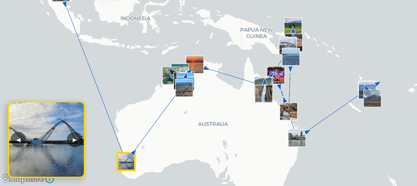
TravelPhotoMap is an Android app that generates an interactive travel map from the photos stored on your device. You select a folder via Android’s system folder picker, and the app reads image files and their EXIF metadata (such as GPS coordinates and date) to place photos on a map and sort them. Processing is done locally: photos and derived data do not leave the device, nothing is uploaded to servers, and no personal data is collected. The app stores generated thumbnails and photo information in a local database that can be deleted from settings, while original photos are not modified or copied. Internet is only needed to download base maps (CARTO and MapLibre); once maps are downloaded, the app can be used in airplane mode. The base version is free and includes no advertising or trackers.
Problem & solution
Problem
Hard to map travel photos without uploading data or extra steps.
Solution
Android app plots photos on maps using local EXIF; no servers or trackers.
Who it's for
Android travelers wanting private photo maps.
Main features
- EXIF-based photo mapping
- Local-only processing
- Folder-based read access
- Offline/airplane mode
- No ads or trackers
Use cases
- Map a trip from phone photos
- View photos by location/date
Comments
0 shownShare your thoughts about this tool.
Sign in to leave a comment.
No comments yet. Be the first to leave one.